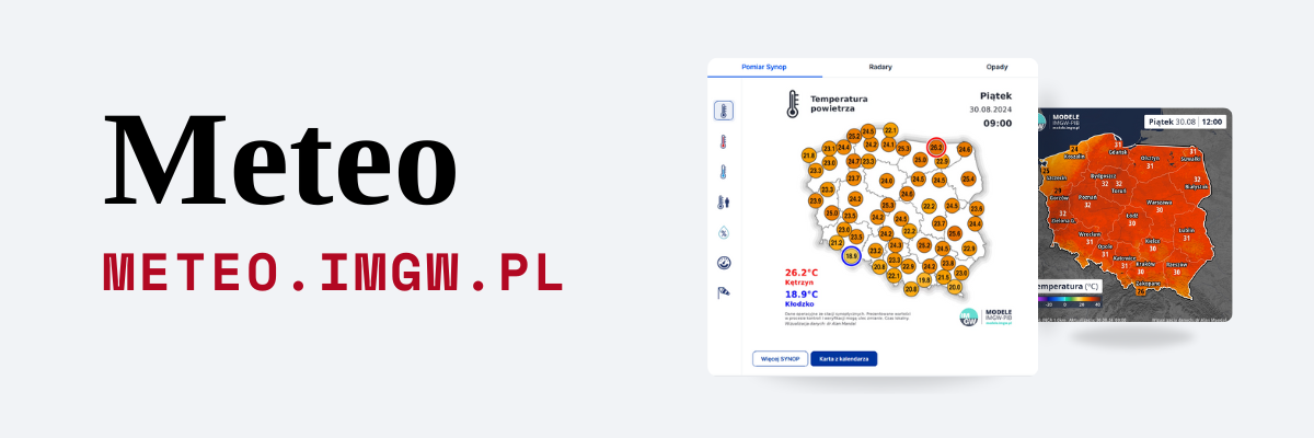
The troposphere is the lowest layer of the Earth’s atmosphere, where essential physical processes that affect the weather occur. Monitoring its state in real-time is not only of great research and cognitive importance, but also of operational significance. Knowledge of the dynamics of the troposphere improves the quality of forecasting models, and the continuously obtained data is a very valuable material, e.g. in meteorological aviation forecasts. The Institute of Meteorology and Water Management has just launched the first radar profiling anemometer in Poland, which will be a permanent element of the system for monitoring and forecasting meteorological phenomena, including, among others, wind profile testing up to 5000 m above ground level. Currently, the test phase of scanning the atmosphere above 3000 m is underway.
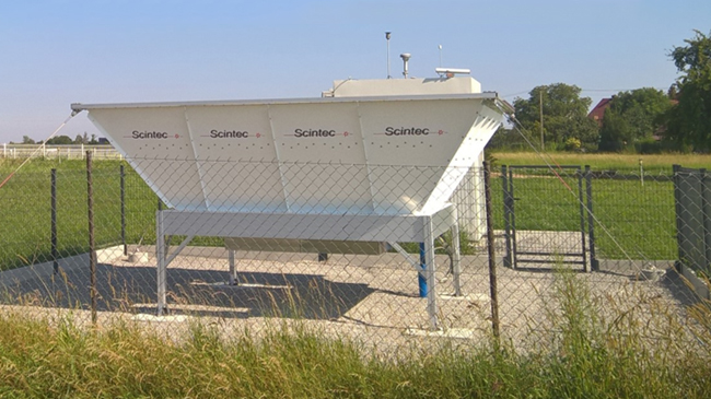
The Wind Profiler is a fully automatic remote-sensing instrument that allows tracking changes in the lowest layer of the Earth’s atmosphere on an ongoing basis. There are currently 34 such devices in operation in the European Union and NATO countries. Installed last year at the hydrological and meteorological station in Racibórz, the Wind Profiler LAP3000 is the first radar anemometer in Poland. After successful technical tests, control measurements in winter conditions were launched in January this year to obtain information on the effectiveness of the device.
How does it work?
The Wind Profiler functions similarly to weather radar, except that its purpose is to measure the state of the atmosphere vertically. The device sends a beam of electromagnetic pulses, which is scattered and partially reflected by air particles with different turbulent properties. The signal returning to the antenna contains information on, among others, wind speed and direction, precipitation, and selected anemological characteristics.
The device achieves the best technical and operational conditions in the frequency range of 1290 MHz, which is commonly used by meteorological services in European countries (WMO Region VI). It is also the range in which the Wind Profiler will operate in the measurement network of IMGW-PIB. This will enable the obtained data to be directly used in the international system of meteorological forecasts and warnings. Measurement effectiveness tests carried out in February 2023 consisted of determining, in each of the vertical layers 50 m thick, the percentage share of measurements qualified by the device manufacturer as validated, i.e. giving 98 percent of correctly collected data.
Test results
For the horizontal component of wind velocity and direction, the best results were more or less obtained for a layer from 150 m to about 2100 m above ground level. Above and below this height range, the effectiveness of the return signal reception decreased. However, these data are still useful for the meteorological evaluation of individual events, e.g. the study of high concentrations of particulate matters, as will be discussed in a moment. As for the measurement of vertical wind velocity, excellent results were obtained for the entire sounding range – from 500 m to 3000 m above ground level.
The Wind Profiler LAP3000 is also adapted to measure the precipitation rate. During the winter tests, the measurement efficiency of this parameter was not very high and rarely (only up to about 900 m above ground level) exceeded 25 percent. Whereby these analyses were carried out when precipitation was simultaneously recorded by standard ground devices at the meteorological station in Racibórz. Therefore, additional calibration of the instrument in identifying this parameter is likely necessary.
Although the radar profiling anemometer is mainly used in operational work and for studying individual meteorological events, the measurement data collected with it can be successfully used in statistical and climatological analyses. The most common form is the study of the characteristics of wind velocity and direction distribution at different altitudes. The measured data obtained from the tests show how much the variability of both parameters is at different altitudes. This information is of considerable importance, primarily for aviation, but it can also help in pollution analyses and forecasts.
Air quality against data from Wind Profiler
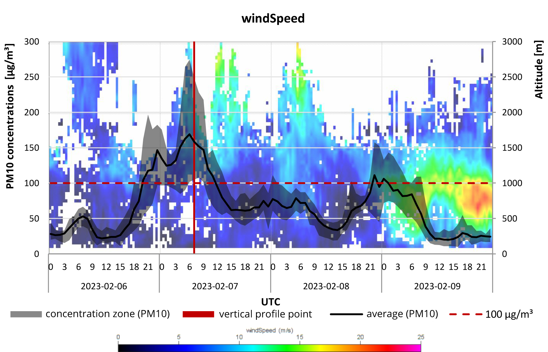
From 6 to 9 February 2023, an increased concentration of particulate matter was recorded in the upper Oder River area, near the Polish-Czech border. Measured data from the station in Racibórz and obtained from the radar profiling anemometer showed that the main cause of the increase in pollution on these days was the extended high-pressure system and the specificity of distribution of wind velocity and direction at individual altitudes of the troposphere.
Throughout the episode, the surface layer of the atmosphere was dominated by a light breeze below 1 m/s, and the horizontal components of wind velocity up to a height of 250 m were a maximum of 4 m/s. On 7 February, when the highest PM10 concentrations were recorded, the wind velocity in the layer up to 1000 m did not exceed 5 m/s. Throughout the analyzed period, the vertical components of wind speed up to a height of 1 km were close to 0 m/s or negative (up to –0.1 m/s). The prevailing wind was from the northern and eastern sectors, except a section of the atmospheric layer at an altitude of about 750 m, where the wind was blowing from the southwestern sector.
Similar tests will be repeated at the end of the year, under autumn and winter conditions, to confirm the existence of an impact of stagnation conditions on the horizontal and vertical transport of pollutants. The measurement results can then be implemented in the modeling of weather and aero-sanitary processes.
The high efficiency and usefulness of the Wind Profiler’s measurement data were also confirmed by meteorological analyses from 17-19 February, when the Ulf low passed through Poland. It brought strong wind gusts, up to 15.3 m/s in the north and central parts of the country and up to 27.8 m/s high in the mountains. In the south, the wind was much lighter, which is very well shown by the charts and wind speed profiles at different heights compiled from the materials acquired by LAP3000. A detailed analysis of the Wind Profiler tests, which has become part of the IMGW-PIB measurement and observation system since January this year, is presented in a study on https://www.imgw.pl/badania-nauka/projekty-naukowe-i-badawcze-imgw-pib in the ACTRIS project section.
The purchase of the WP LAP2000 device was carried out as part of the ACTRIS project financed by the European Regional Development Fund under the Smart Growth Operational Program 2014-2020 (POIR), axis IV – increasing the scientific and research potential, measure 4.2. Development of modern research infrastructure of the science sector, Smart Development.
Prepared by Rafał Stepnowski.
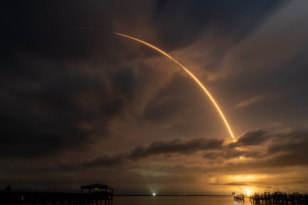
Main photo: Miguel A. Amutio | Unsplash.